At the summit of Kilimanjaro, Africa
It was a cool night as we inched our way up through the night for the final stretch to Uhuru Peak, highest point on Kilimanjaro. Our pace was slow so that we had the best chance of reaching the summit due to its elevation rising to 19,341 feet. It was a dark night with a sky illuminated with stars. As I looked back down the mountain, I could see the procession of head lights dotting the landscape as it curved its way up the mountain. It was a moment that caused me to reflect on the journey that lead to this point.
The idea of climbing Kilimanjaro was a distant dream, never realized although thought about. A very special friend, who had dreams herself and pursued them, made it possible for ten of us to realize this journey as she had done on many occasions for others. On the computer she went, investigating various treks, routes, time frames and chose a company we traveled with before and the date was set. As it would be the year of Canada's 150th birthday, the timing was perfect to carry the Canadian flag to the summit. There we would proudly display the celebration flag of Canada's 150th birthday. Now our mission was to do our best in reaching the top and to fly this special flag in honour of Canada and all Canadians.
It didn't take long for our group to grow to ten people of various experiences, shapes and sizes, and personalities. The mountain does not discriminate but welcomes everyone to try. Over the year leading up to our departure, we prepared ourselves not only physically but mentally, some of us more than others and hopefully it was enough to complete the climb. As we would be entering an area where we would be affected by altitude, diet and Malaria, it was important that we have all the necessary medication to ward off diseases, circulate blood effectively and allow us to digest a steady diet of carbs. There was a lot learning to do, in understanding better our own bodies and taming the thoughts of anxiety and self-doubt.
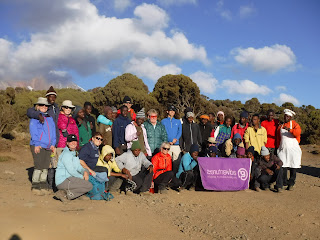
We arrived in Moshi, Tanzania, a day later after two long flights and time change. That night, we were happy to arrive at our hotel, Stella Maris. Moshi is the closest town to the trailhead. The following day, we met with our guide who informed us of what to expect, weather, clothing, gear and checked with us to make sure we had sufficiently prepared and if not, would provide us with what we were missing. The following day, we climbed into a van with our guide and drove a short distance through little communities, past coffee and banana plantations to our starting point at Machame Gate. It was a Sunday so many of the villagers were making their way by foot alongside the road to their church, dressed in their best outfits, some carrying their books. As we pulled in past the gate, we saw lines and lines of porters filling the area as they inched their way to the weighing dock. Here each porter's load was weighed so that all, no matter what shape or size, weighed the same. They carried their load mostly on their head but also used their shoulders and neck to support a load between their pack and head. They are amazing people and certainly made our journey much easier. While this was happening, we made our way to a shelter where we could have lunch. As there were numerous outfitters with groups, it took a long time to get going but finally our porters, all 29 of them just for us 10 people, were on their way which allowed us to start hiking.
We passed through five ecological zones. Starting from the bushlands, we hiked through the rainforest, entering the moorlands, known as lower alpine where we would camp for our first night, approximately 9,000 feet. Each day brought us higher into the alpine dessert or high alpine, where there was no vegetation in sight, only rocks, dust and colder temperatures. The last zone would be the apex or the artic, more familiar as the summit.
Each day, we slowly made our way, about a kilometre an hour, allowing our bodies to adapt to the altitude. At 15,000 feet most of us were being affected one way or another, nausea, headache, sluggishness, vomiting. Even taking the diamox for altitude did not ensure your well being. Altitude was either your friend or foe and it determined whether you will summit or not in the best of conditions.
The landscape at times, allowed us to see quite a distance, however, determining distance was very subjective and what appeared close was not close at all. We were approaching one campsite which appeared like a straight line to it but as we moved closer, we started to descend steeply, sliding at times due to the loose gravel and sand. Down and down we went, about a thousand feet only to come back up again a thousand feet to arrive at our campsite. It was our fifth day on the trail when we arrived early that day to camp. That night we would start for the summit. Crowds and crowds of people dotted the landscape as we jammed into our site within this small area for tents. Here we would have lunch, go to bed, get up again for supper, then back to bed only to get up finally to eat a small snack before we started. It was 11pm when we slowly continued our way up the mountain, steeper now and dark, only the stars and our headlamps illuminating the way. The wind picked up, some of us had to stop to pee, put on another layer, one had to change his batteries in his headlamp. All this added to the cold, the slow pace, no sun, energy dwindling. We moved as if in a trance. Our bodies moved but our minds wanted to sleep. I could feel my eyes wanting to close, easily falling asleep as I inched forward up the mountain. One lady collapsed for the same reason, falling asleep. Others were being brought down, porter on either side of them, bracing them to get them down the mountain where they could breathe in more oxygen and recover. One gal was stumbling all over the place like a drunk, tripping on the rocks going slower and slower. Slowly through the night we were getting closer to the summit. The sky was starting to lighten. Dawn was approaching and I could see the thin line of light at the horizon. Yes, the sun would soon rise and warm us.
The sun was shining brightly when we reached the junction called Stella Point at 9am. Here we had a well-earned break. The heat of the sun was quickly warming us up as we ate our snack and drank water. Water consumption was key in maintaining a healthy oxygen level in our bodies. It was recommended we drink at least four litres a day. I could only manage about three litres, if that. All ten of us made it to Stella Point but only eight of us would continue. One was suffering from a seriously low level of oxygen, about 69 percent and had been vomiting. The other person was also having signs of altitude sickness with stumbling and no energy. Fortunately, we had several of our porters with us to help us in these circumstances, so we could continue and the others could descend.
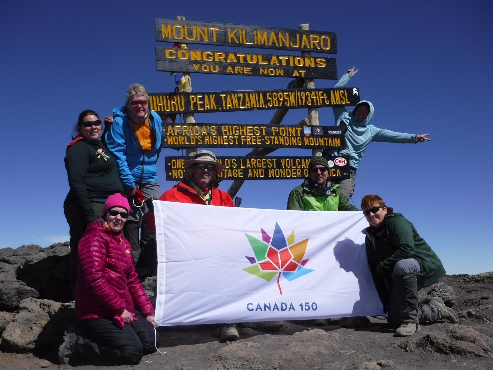
The landscape was stunning with its massive glaciers in the distance near the summit. The path was very easy but laborious as our bodies were tired. Suddenly, I could hear the music of ABBA playing the song "I had a Dream" coming from behind me. It was our lead guide who played it on his cell phone. I felt so elated, like I was floating at this point, joyful, happy. Tears were welling up in my eyes. This was the culmination of this entire journey. We stayed about 20 minutes at the summit, taking pictures, everyone posing and having different shots with different people. I remembered to pull out the flags I was carrying in my pack, one being the Cornwall flag and the other Canada's 150th flag. We all came together around the flag and had our picture taken. It was a special moment. The sun was shining brightly with a temperature of about –15 Celsius. Around the mountain was a sea o f clouds, the undercast. The youngest girl in our group was asthmatic and was experiencing a piercing pain poking into one of her lungs but hid it well with her smile; others had piercing headaches and my dear friend and I had adapted to the altitude and were not affected. Nevertheless, it was time to go down although I wanted to linger longer but we still had a long way to go to our next camp, 7,000 feet lower and 14 kilometres further. We had summited at 10:00 am and now needed to get safely to our next camp. Coming down the mountain was actually fun, sliding through sand at times and loose gravel, yet not so kind to the knees, breaking constantly. The remaining porters who waited for us back at camp hiked up several kilometres to give us some mango juice which was well received. Another touching moment of the care we received from our porters.
We finally arrived at our next camp for the night. It was 6:00 pm. Despite our exhaustion, we ate supper and happily went to bed. The next day saw us out to Mweka Gate, completing the loop, up the Whiskey route and down the Coca Cola route. There we had our final pose for a picture and climbed into our van to take us back to our hotel first stopping for a celebration lunch in an art garden. It is here that we tried our first sip of unfiltered banana beer. One sip is all I could handle. That evening we all gathered together for supper. I reflected on when we first arrived here; we could not see the mountain. As if teasing, it only showed tiny glimpses, but now we could see the entire mountain in all its beauty with the sun going down ever changing the light on its shoulder. If I take away any lesson from this journey, it would be that everything has its time, I just need to continue to make the effort. Thank you Cathy Chumley with your travel company Beaches and Beyond for making this journey happen.