

The start of the hike from 73 just north of junction to 9N see the map for my entire loop, up Grace, including Macomb, across the Dix down to Round Pond and out to 73.

My car was parked along Rte 73, a dirt shoulder

There were many swimming holes with camping off 73

The herd path disappeared here so I followed the river


My first camp was at the base of East Dix

As the days were long, I was able to summit East Dix


It was quite windy but still warm at summit of Grace Peak


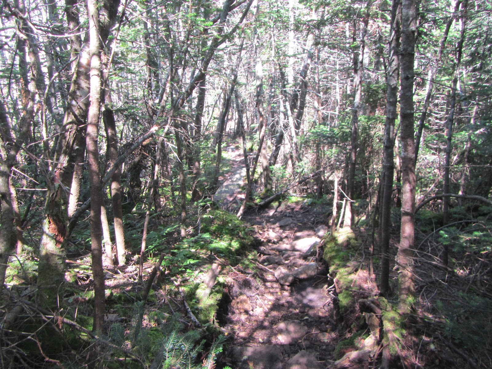
Summit of Grace (formerly East Dix)


Along the path to and from Grace Peak, I found this blue sleeping bag and black duffle bag that seems to have been there for quite a while, looking a little tattered and worn. I wondered if this was an emergency set up from a past rescue that was left behind.


Next morning I started early to summit South Dix then Macomb


Beautiful Elk Lake from Macomb

Looking over to Dix from Hough

Elk Lake in the distance


Looking over at the Beck Horn

Looking back at shoulder of Hough and Macomb

The hardest section: scaling up this rock to the Beck Horn with a full pack, bear barrel and all. I had to remove my pack and pull it up with my rope as the pack prevented me from shimmying up and the steepness made it difficult to grip the rock.


Last junction back out to 73

Completed the loop in 2 days, one overnight, out at 9pm
This was the most spectacular and demanding solo traverse I have done. If I was to do it again, I would camp 2 nights and not one night. I had studied this route for over a year, wanting to try it when someone had asked me if I had done it. This loop would start from Route 73, near the junction to 9N, near the South Bouquet River. I followed the herd path in from the highway. There were lots of campsites near the beginning with beautiful swimming holes during a hot summer. The trail was fairly easy to follow. There were some herd paths going off but it was easy to see the well used path until I came to a section along the North Bouquet River where I lost the path. I could not see where the path went although I followed what seemed to be the path and ended up at a berry bush and realized this must be the bear's path. As my nervs were heightened by the thought of encountering a bear, I jumped when I heard a grouse flying up from the long grass. Relieved that it was only a bird, I continued on my way. Since I could not find the trail, I decided to follow the river bed as it was mostly dried up and in looking at my GPS, I could see that the river joined back up with the trail. Later I discovered that there was a turn in the trail and up a hill which was not very visible which twisted around from the point where I lost the trail. I was relieved when I was back on the trail. I made it the base of Grace Peak (East Dix) and then started my hike up the slide. The trail went off to the side of the slide and continued to a junction at about 3600 feet. Left was up to the summit and right came down to a level area. I found a nice spot well off the trail where I could set up my bivy for the night. Once I had supper and hid my bear barrel, I made my way up to the summit of Grace for a beautiful sunset evening. The next morning, I packed up and headed to Carson Peak (South Dix) where I would have my breakfast. It was another beautiful day. It was a nice trail to Carson and I can remember being surprised at reaching the summit as it was not a difficult climb as other peaks with the last push being steep and rugged. I then made my way down from Carson and arrived at the junction to Macomb. I decided to drop my pack in the bush as I would be coming back this way and took my camera and hiked up to the summit of Macomb. There were many hikers on the mountain that day and I was able to get someone to take my picture atop Macomb with Elk Lake in the background. I returned back to the junction and picked up my pack and continued on to Hough. I could feel the weight of my pack wearing on me but I was determined to finish the hike that day. Many hikers were coming down from Dix to Hough. Hough has a small summit so I took the pictures I wanted and continued on up towards the Beck Horn. As I neared the Beck Horn, I knew getting up the large boulder would be difficult with my pack. There was a long crack in the boulder which normally I would shimmy up with my day pack but on this occasion, I had to take off my pack and then pull up the back with rope as it was too big to shimmy up the crack in the rock. That section took me about 30 minutes just to get up the rock. I made it to the summit of Dix and there I took a well deserved break with a snack and some water. I can recall wondering what it would be like to do this in the winter. I descended this great mountain, feeling the weight of my pack slowing me down at each step. I finally made it to the Bouquet Lean-to at about 6:00 pm and rested. I had to decide whether to camp for another night or head out as planned. I decided to head out. It was dark on the last half mile out but I had enough light from my headlamp. I made it to the highway by 9pm. I needed to rest before making my way back to my car about 2 miles down the road. As I sat there, I saw a light coming down the trail and approaching where I was. It was another hiker finishing his hike too and going to his car. I asked him if he would give me a ride to my car and without hesitation said "sure". I made it home safely and needless to say I sleft very well that night.
No comments:
Post a Comment